
DJI Terra & DJI Modify
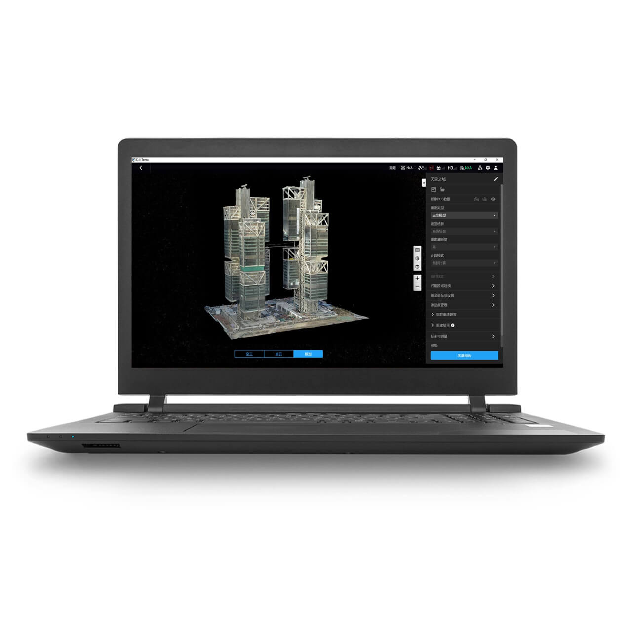
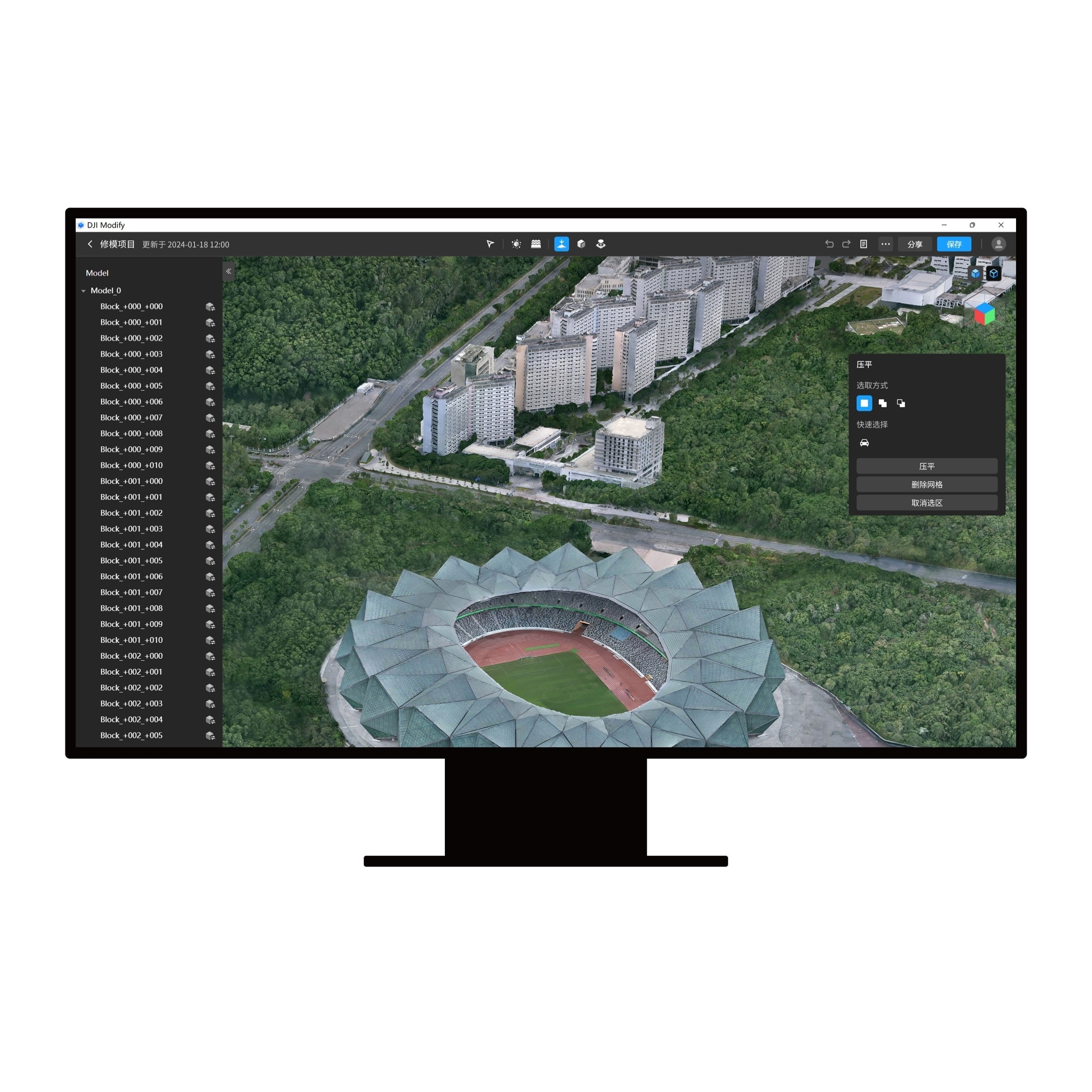
DJI TerraMake the entire planet a digital asset.You can simply map, analyse, and visualise your environment using DJI Terra. This software was developed to aid professionals in converting actual events into digital assets.DJI Terra is a PC application software with features such 2D multispectral reconstruction, LiDAR point cloud processing, and thorough inspection missions. It mostly uses 2D orthophotos and 3D model reconstruction. It is a one-stop shop that offers customers in the business unmatched efficiency, with thorough reconstruction models accommodating verticals like land mapping, power transmission, emergency services, construction, transportation, and agriculture.Drone Safe Store officially sell DJI Terra.Area Mapping3D ModelsImports photos are taken from various perspectives in order to automatically create a realistic 3D model. For picture reconstruction in a variety of situations, such as surveying and mapping, accident scenes, power grid equipment, and progress monitoring for construction projects, there are three resolutions available: high, medium, and low.2D MapsGenerate high-resolution orthomosaics, enabling you to get detailed and accurate measurement results for all your critical projects.LiDARUtilize DJI Terra to process the Zenmuse L1's point cloud data. Create fieldwork reports, combining point cloud and visible light data, export point clouds in specified formats, and calculate POS data all with a single click.MultispectralCreate radiometrically calibrated reflectance maps for remote sensing studies and more using multispectral data from P4 Multispectral, or create vegetation index maps containing NDVI and NDRE. To increase crop yields while lowering expenses, create prescription maps for variable rate application using DJI's Agras drones.
Showing 1–5 of 5 products
DJI Terra
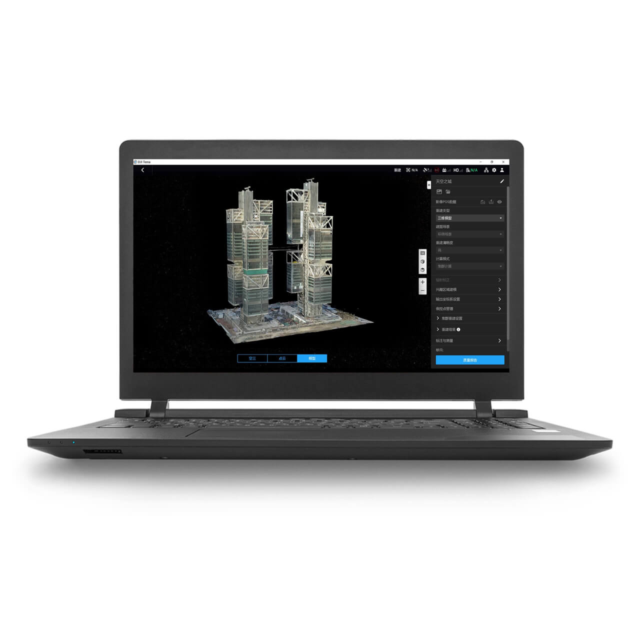
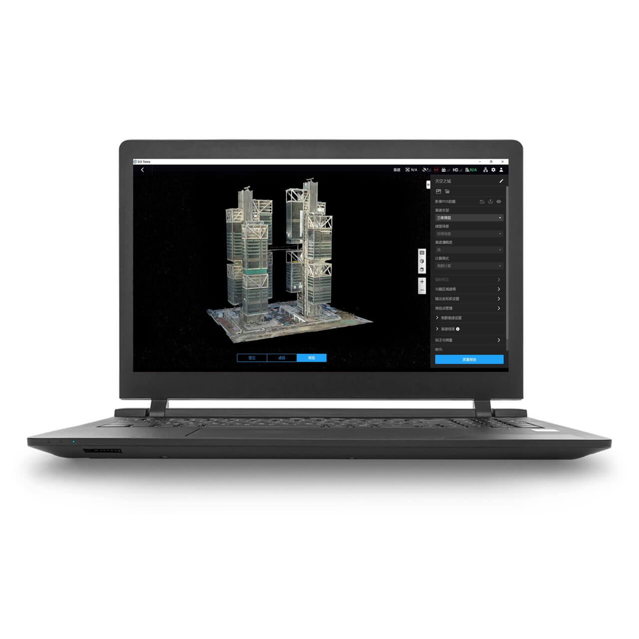
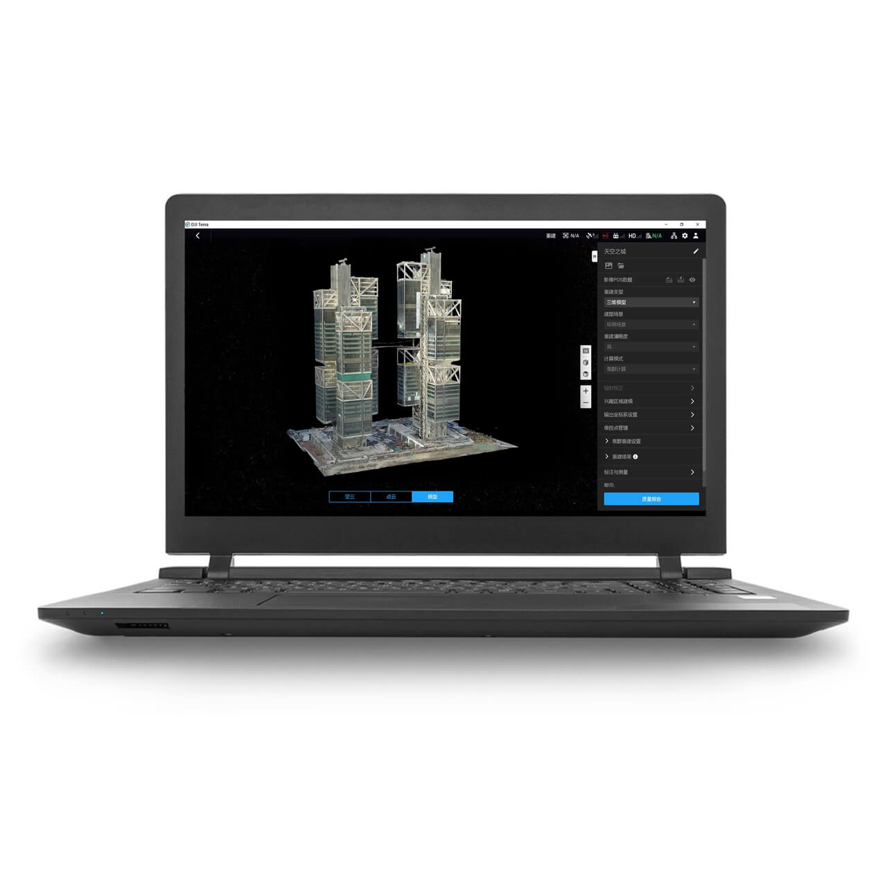
Make the entire planet a digital asset. You can simply map, analyse, and visualise your environment using DJI Terra. This software was developed to aid professionals in converting actual events into digital assets.
DJI Terra is a PC application software with features such 2D multispectral reconstruction, LiDAR point cloud processing, and thorough inspection missions.
It mostly uses 2D orthophotos and 3D model reconstruction. It is a one-stop shop that offers customers in the business unmatched efficiency, with thorough reconstruction models accommodating verticals like land mapping, power transmission, emergency services, construction, transportation, and agriculture.
Drone Safe Store officially sells DJI Terra software.
3D Models
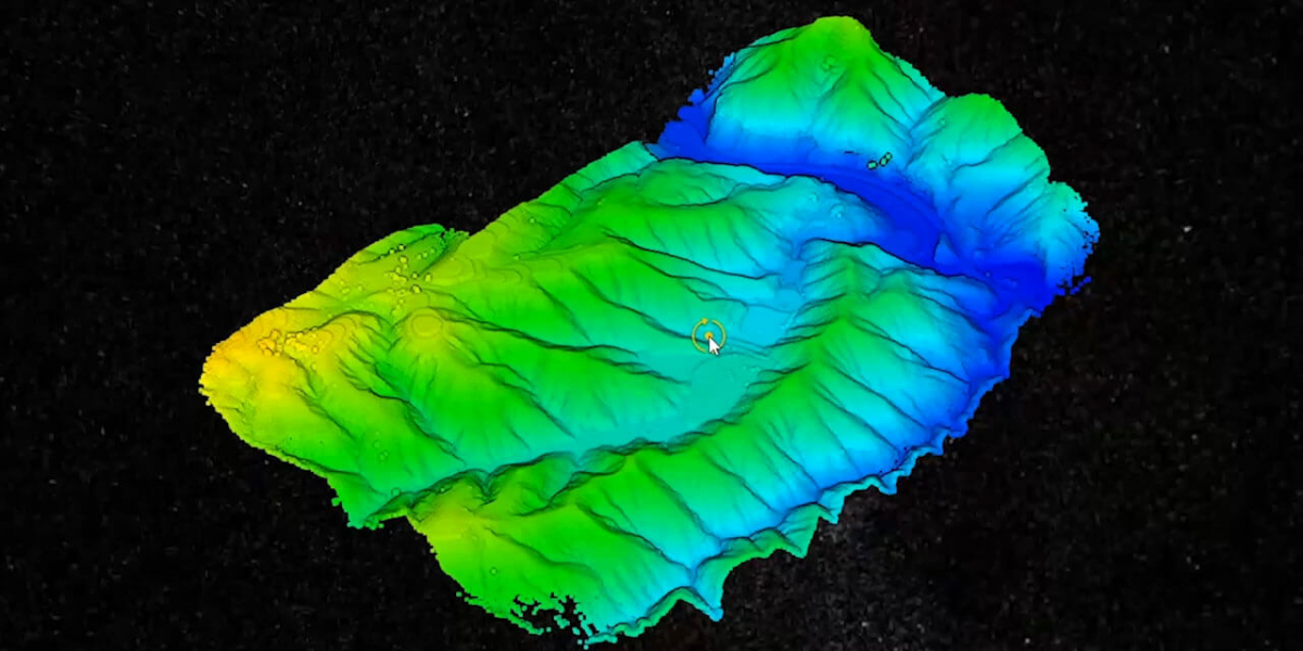
Imports photos are taken from various perspectives in order to automatically create a realistic 3D model. For picture reconstruction in a variety of situations, such as surveying and mapping, accident scenes, power grid equipment, and progress monitoring for construction projects, there are three resolutions available: high, medium, and low.

2D Maps
Generate high-resolution orthomosaics, enabling you to get detailed and accurate measurement results for all your critical projects.

LiDAR
Utilize DJI Terra to process the Zenmuse L1's point cloud data. Create fieldwork reports, combining point cloud and visible light data, export point clouds in specified formats, and calculate POS data all with a single click.
Multispectral
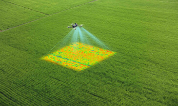
Create radiometrically calibrated reflectance maps for remote sensing studies and more using multispectral data from P4 Multispectral, or create vegetation index maps containing NDVI and NDRE. To increase crop yields while lowering expenses, create prescription maps for variable rate applications using DJI's Agras drones.
Speak to an expert about DJI Terra
Would you like to talk to an expert about DJI Terra? Call us on 01243 859444, email us on [email protected], or go on to our Live Chat.