Photogrammetry vs LiDAR for Drone Mapping
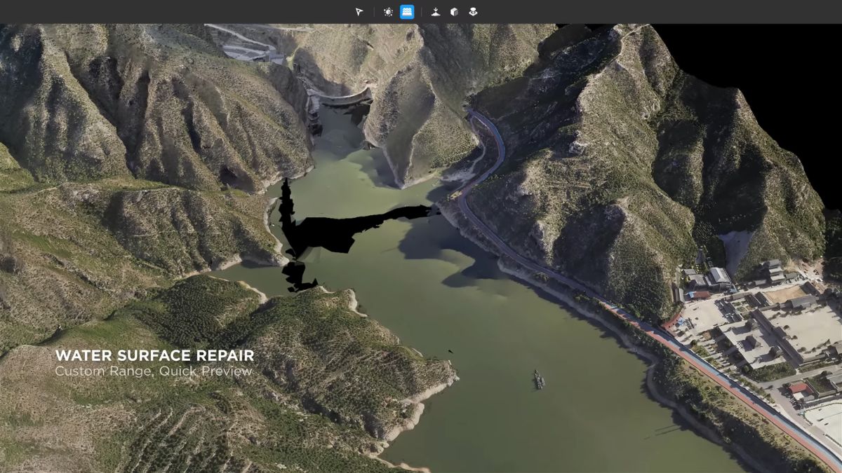
Photogrammetry needs enough overlap between consecutive photos, typically flown as a grid mission, for structure-from-motion software to triangulate matching points across multiple images and reconstruct the surface.
Drone Safe Store
Oct 26, 2026
Read more